Remote Sensing Analysis
GeoExpo Global’s Remote Sensing Analysis services harness the power of cutting-edge satellite and aerial imaging technologies to provide a comprehensive understanding of the earth’s surface and subsurface. Our remote sensing solutions are designed to support mineral exploration, environmental monitoring, and land-use planning, offering a cost-effective and efficient way to gather critical geological data across large and often inaccessible areas.
Advanced Satellite and Aerial Imaging:
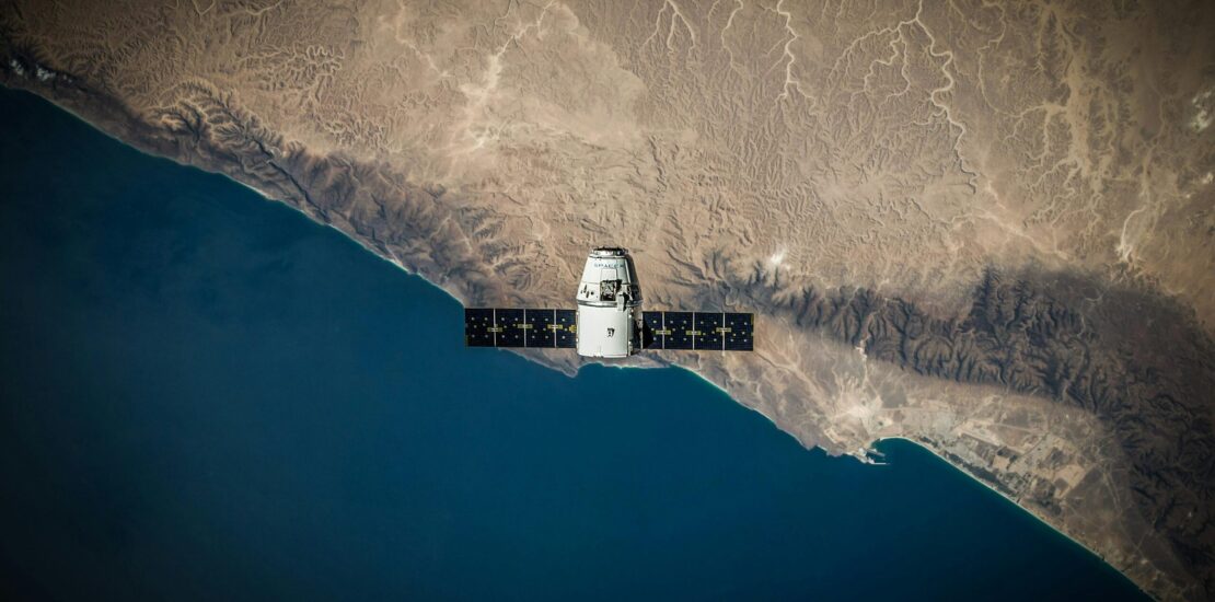
Our Remote Sensing Analysis services utilize high-resolution satellite imagery, aerial photography, and multispectral and hyperspectral data to detect and map geological features, mineralization patterns, and environmental changes. We work with a variety of satellite platforms and sensors, including Sentinel, Landsat, ASTER, and commercial satellites, to capture the most relevant and up-to-date data for your project. This extensive range of data sources allows us to tailor our analysis to the specific needs of your exploration or monitoring objectives.
Multispectral and Hyperspectral Analysis:
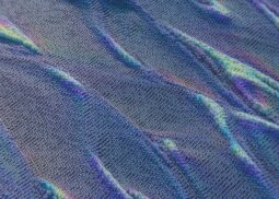
GeoExpo Global specializes in the interpretation of multispectral and hyperspectral data, which are essential for identifying specific mineral compositions and alteration zones. By analyzing the spectral signatures of different materials, we can detect subtle differences in surface mineralogy that may indicate the presence of valuable deposits. This capability is particularly useful for identifying targets in regions where traditional exploration methods may be limited or impractical.
Digital Elevation Models and Terrain Analysis:
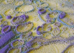
We generate detailed Digital Elevation Models (DEMs) and conduct terrain analysis to assess topographical features, drainage patterns, and slope stability. These analyses are critical for planning exploration activities, designing drilling programs, and evaluating potential environmental risks. Our terrain models provide a three-dimensional view of the landscape, allowing for better visualization and decision-making during the exploration and development phases.
Geological Mapping and Structural Analysis:
Our remote sensing experts use advanced image processing techniques to produce detailed geological maps that highlight structural features such as faults, folds, and fractures. These structural analyses are vital for understanding the tectonic framework and guiding exploration efforts. By integrating remote sensing data with geophysical and geological information, we create comprehensive maps that provide valuable insights into the subsurface architecture and mineral potential of your project area.
Change Detection and Environmental Monitoring:
Remote sensing is a powerful tool for monitoring environmental changes over time. We offer change detection services that track alterations in land use, vegetation cover, water bodies, and surface conditions. These analyses are crucial for assessing the environmental impact of mining activities, monitoring rehabilitation efforts, and ensuring compliance with environmental regulations. By regularly updating remote sensing data, we help you maintain a proactive approach to environmental management and sustainable development.
Target Generation and Exploration Planning:
Our Remote Sensing Analysis services play a key role in generating exploration targets and planning field activities. By identifying areas of interest through spectral analysis, structural mapping, and terrain assessment, we help you focus your exploration efforts on the most prospective zones. This targeted approach not only reduces exploration costs but also increases the chances of successful discovery. We work closely with your team to integrate remote sensing data into your overall exploration strategy, ensuring that you have the information needed to make informed decisions.
Non-Invasive and Cost-Effective:
One of the major advantages of remote sensing is its non-invasive nature, allowing for the collection of large amounts of data without disturbing the environment. This makes remote sensing an ideal tool for preliminary exploration in environmentally sensitive areas or regions where access is challenging. Additionally, remote sensing provides a cost-effective solution for large-scale surveys, reducing the need for extensive fieldwork and allowing for rapid assessment of vast areas.
Data Integration and Custom Reporting:
At GeoExpo Global, we believe in the power of data integration. Our remote sensing analyses are often combined with geophysical, geochemical, and geological data to provide a holistic view of your project area. We offer customized reporting that includes detailed maps, 3D models, and actionable insights, tailored to your specific project requirements. Our reports are designed to be practical and easy to understand, helping you translate complex data into clear exploration and development strategies.
Global Expertise, Local Solutions:
With experience in diverse geological environments around the world, GeoExpo Global brings global expertise to every remote sensing project. Our team understands the unique challenges and opportunities in different regions, and we apply this knowledge to deliver localized solutions that meet your specific needs. Whether you are exploring in remote deserts, dense forests, or mountainous terrain, we have the skills and technology to support your exploration objectives.
Continuous Innovation:
We are committed to staying at the forefront of remote sensing technology. Our team continuously explores new methodologies, tools, and data sources to enhance the accuracy and effectiveness of our remote sensing services. By embracing innovation, we ensure that you benefit from the latest advancements in the field, providing you with a competitive edge in your exploration and monitoring activities.
In summary, GeoExpo Global’s Remote Sensing Analysis services offer a powerful and versatile solution for mineral exploration, environmental monitoring, and land-use planning. By leveraging advanced imaging technologies and integrating diverse data sources, we provide comprehensive and actionable insights that support successful project outcomes. From initial target generation to detailed geological mapping, we are your trusted partner in harnessing the full potential of remote sensing for your exploration and development needs.


